Map of Southeast Asia for Travel and eSIM Coverage in 2026
7/13/2026
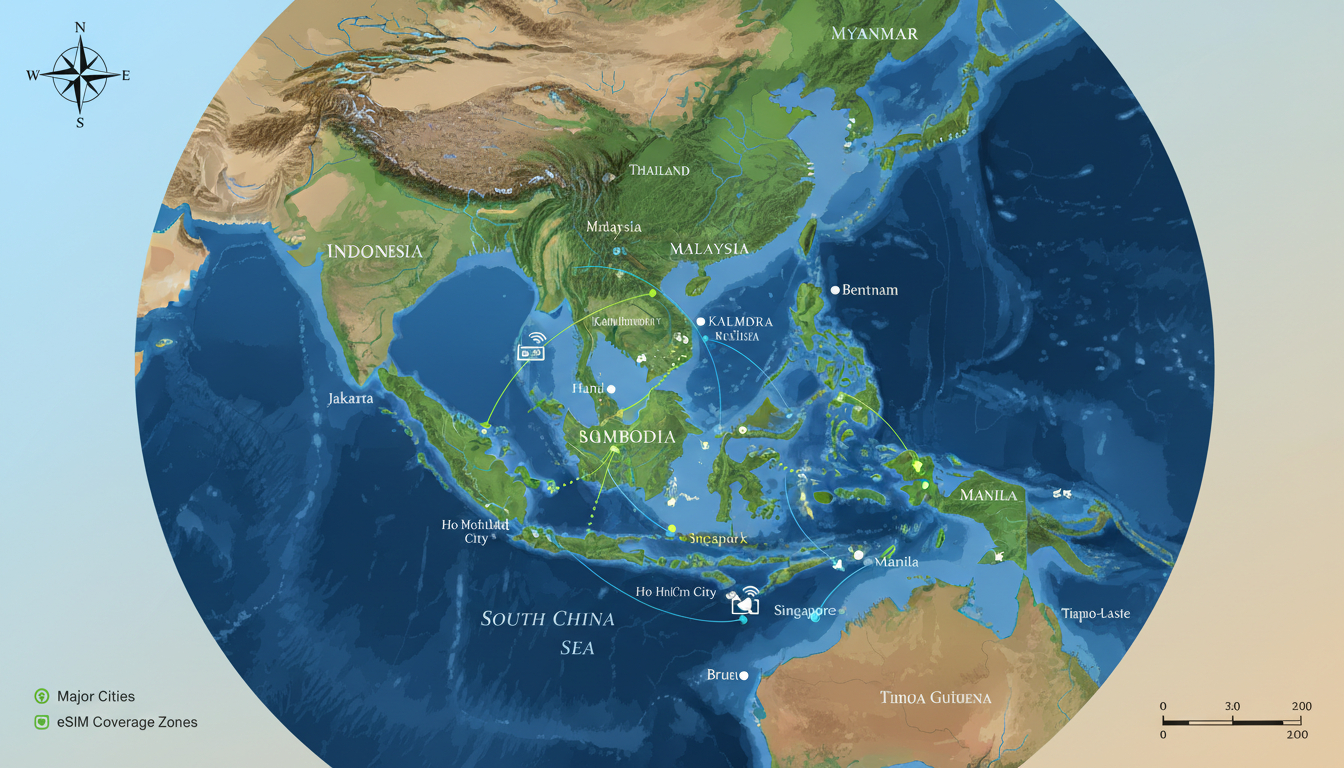
In short, what you'll discover in this article: a comprehensive overview of the map of Southeast Asia, including political and physical geography, thematic maps, interactive resources, and practical uses for travelers, educators, and professionals. This guide will help you visualize the region clearly to plan your trip or project with confidence.
1. Introduction — What Is a Map of Southeast Asia and Why It’s Useful
A map of Southeast Asia is a visual representation that outlines the countries, borders, cities, and geographical features of this diverse region. It is essential for travelers planning routes, educators teaching geography, and professionals analyzing spatial data.
Understanding this map helps you grasp the proximity of countries like Thailand, Vietnam, Indonesia, and the Philippines, making travel planning smoother and more efficient.
Using a detailed map can reveal cultural regions, climate zones, and transportation networks that are crucial for organizing your itinerary or research. For example, knowing the location of major cities and natural landmarks can optimize your backpacking route or enhance your understanding of regional dynamics.
2. Geographic Overview
2.1 Delimitation of Southeast Asia (Countries Included)
Southeast Asia consists of 11 countries:
- Brunei
- Cambodia
- Indonesia
- Laos
- Malaysia
- Myanmar
- Philippines
- Singapore
- Thailand
- Timor-Leste
- Vietnam
These countries are located between East Asia and South Asia, bordered by the Pacific Ocean to the east and the Indian Ocean to the west. This positioning creates a rich blend of cultures and ecosystems.
2.2 Political Map (Borders and Capitals)
A political map highlights international borders and capital cities such as Bangkok (Thailand), Hanoi (Vietnam), Jakarta (Indonesia), and Manila (Philippines). It helps travelers understand visa requirements, border crossings, and regional groupings like ASEAN.
Knowing these political boundaries is vital for planning flights or overland journeys. For instance, crossing from Laos into Vietnam requires awareness of border checkpoints visible on such maps.
2.3 Physical Map (Relief, Major Rivers, Mountain Ranges)
The physical map displays topography including mountain ranges like the Annamite Mountains along Vietnam-Laos border and major rivers such as the Mekong River flowing through multiple countries. It also shows volcanic islands in Indonesia and extensive coastlines.
This information is useful for understanding climate variations and natural barriers that might affect travel routes or connectivity options like eSIM coverage.
3. Useful Thematic Maps
3.1 Demography and Population Density
Maps showing population density reveal urban hubs versus rural areas. Cities like Singapore are densely populated while parts of Laos have sparse populations.
This helps in identifying where services like mobile networks are strongest.
3.2 Economy and GDP by Country
Economic maps illustrate wealth distribution across Southeast Asia. Countries like Singapore and Malaysia have higher GDPs compared to others like Cambodia or Myanmar.
Such data can influence travel budgets or business decisions.
3.3 Climate and Biogeographical Zones
Southeast Asia features tropical climates with monsoon seasons affecting different zones variably. Maps showing climate zones help travelers prepare for weather conditions during their trip.
3.4 Transport Networks and Major Shipping Routes
Transport maps highlight highways, railways, airports, and maritime routes crucial for moving between islands or countries efficiently. For example, ferry routes connect Indonesian islands while highways link mainland capitals.
4. Interactive Maps and Downloadable Resources
4.1 Available Formats (SVG, PNG, PDF, GeoJSON)
You can find a detailed map of Southeast Asia in various formats suitable for printing or digital use:
- SVG for scalable vector graphics
- PNG/JPG for images
- PDF for high-quality printable maps
- GeoJSON for GIS applications
These formats cater to different needs from casual viewing to professional analysis.
4.2 How to Embed Maps on Websites (iframe, API)
For bloggers or educators wanting to integrate maps into their websites or apps, embedding via iframe or using map APIs offers interactive experiences with zooming and clickable regions.
4.3 Usage Terms and Licensing
Most free vector maps come with licenses allowing personal or educational use but may restrict commercial use without permission. Always check terms before redistribution.
5. Practical Uses by Audience
5.1 For Travelers (Itineraries, Transport, Attractions)
Travelers benefit from tourist maps highlighting attractions alongside transport lines to plan efficient routes across countries like Thailand or Malaysia. Combining this with eSIM plans ensures connectivity on the go—learn more about the best eSIM in Singapore to stay online during your trip.
5.2 For Teachers and Students (Printable Maps, Exercises)
Educators use printable political or physical maps for classroom activities to teach geography or history related to Southeast Asia’s cultural regions.
5.3 For Professionals (Geospatial Data Analysis)
GIS specialists rely on downloadable GeoJSON files to analyze demographic trends or environmental risks across Southeast Asia’s diverse landscapes.
6. Advanced Visualization Ideas
6.1 Temporal Maps / Historical Evolution
Maps showing historical changes in borders or population shifts provide context on how Southeast Asia’s political landscape evolved over centuries.
6.2 Natural Risk Maps and Alerts
Visualizations highlighting flood zones, volcanic activity, or typhoon paths help travelers prepare for natural hazards common in this region.
7. Conclusion and Call to Action
A well-chosen map of Southeast Asia is indispensable for anyone planning travel or research in this vibrant region. Use detailed political and physical maps alongside thematic resources to build a clear picture before you go. To stay connected effortlessly during your journey, consider exploring how to get an eSIM in Singapore with verified promo codes from trusted providers featured on MyBestSim.
- a map of Southeast Asia countries
- the geography of Southeast Asia
- a political map of Southeast Asia
- the topography of Southeast Asia
- a detailed map of Southeast Asia
- the climate zones of Southeast Asia
- a tourist map of Southeast Asia
- the cultural regions of Southeast Asia
- a historical map of Southeast Asia
For travelers seeking seamless connectivity across Southeast Asia’s bustling cities like Singapore or Bangkok, using an eSIM is highly recommended. Check out Singapore eSIM tourist options for affordable plans that keep you online without roaming fees during your adventure through this fascinating region.
FAQ
What countries are included in Southeast Asia?
Southeast Asia includes 11 countries: Brunei, Cambodia, Indonesia, Laos, Malaysia, Myanmar, Philippines, Singapore, Thailand, Timor-Leste, and Vietnam. These nations form a diverse region located between East and South Asia.
How does a political map help travelers in Southeast Asia?
A political map shows borders and capitals, helping travelers understand visa rules and border crossings. It’s essential for planning flights or overland trips between countries like Laos and Vietnam.
What key features are shown on a physical map of Southeast Asia?
Physical maps display mountain ranges like the Annamite Mountains, major rivers such as the Mekong, volcanic islands, and coastlines. This helps travelers grasp terrain and climate variations affecting their routes.
Which map formats are best for digital and print use?
Maps of Southeast Asia are available in SVG for scalable graphics, PNG/JPG for images, PDF for printing, and GeoJSON for GIS analysis. Each format suits different needs from casual viewing to professional use.
How can travelers use Southeast Asia maps to plan their trips?
Travelers can use maps highlighting attractions and transport networks to design efficient itineraries. Combining this with eSIM plans ensures connectivity while exploring cities like Singapore or Bangkok.

Liam Chen
Liam is a travel and technology writer based in Southeast Asia who has tested eSIMs across the region. At Singapore eSIM he compares travel data plans on Singtel, StarHub and M1 and helps visitors stay online affordably from Changi to Sentosa.