Explore the East Asia Map Political Boundaries in 2026
7/16/2026
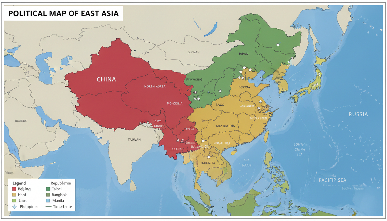
In short, what you'll discover in this article: a comprehensive overview of the political boundaries in East Asia, including detailed country divisions, special territories, and geopolitical disputes. This guide will help you understand the region’s complex borders and key cities with clear, up-to-date maps.
1. Political Map of East Asia — Overview
1.1 Definition of the Covered Area (Countries and Geographic Limits)
East Asia encompasses several countries and regions situated between Central Asia, Russia, and the Pacific Ocean. The core countries include China (with its special administrative regions Hong Kong and Macau), Japan, South Korea, North Korea, Mongolia, and Taiwan.
For broader context, parts of Russia’s Far East and Southeast Asia’s northern edges are sometimes included to illustrate border relations.
This region is bounded by the Pacific Ocean to the east, Russia to the north, Central Asia to the west, and Southeast Asia to the south. Understanding these boundaries is essential for grasping the geopolitical layout of East Asia.
1.2 Purpose and Use of This Map (Educational, Geopolitical, Professional)
A detailed political map of East Asia serves multiple purposes:
- Educational: Helps students and enthusiasts visualize country borders and capitals.
- Geopolitical: Assists analysts in understanding territorial disputes and regional alliances.
- Professional: Useful for diplomats, travelers, and businesses needing accurate political divisions.
Such a map highlights not only borders but also major cities and administrative divisions to provide a clear snapshot of East Asia’s political landscape.
2. International Borders and Political Statuses
2.1 List of Countries Included with Brief Profiles
Here is an overview of key East Asian countries with their capitals, approximate area, and population:
- China: Capital Beijing; vast territory covering approximately 9.6 million sq km; population over 1.4 billion.
- Japan: Capital Tokyo; island nation with about 378,000 sq km; population around 125 million.
- South Korea: Capital Seoul; about 100,000 sq km; population approximately 52 million.
- North Korea: Capital Pyongyang; roughly 120,000 sq km; population near 25 million.
- Taiwan: Capital Taipei; island covering about 36,000 sq km; population around 23 million.
- Mongolia: Capital Ulaanbaatar; landlocked with about 1.56 million sq km; population near 3 million.
- Russia (Far East region): Partially included for border context; capital Moscow (national); Far East region borders China and North Korea.
2.2 Special Territories and Non-Standard Statuses
East Asia includes several territories with unique political statuses:
- Taiwan: Self-governed island claimed by China as a province but operates as a separate entity with its own government.
- Hong Kong & Macau: Special Administrative Regions (SARs) of China with distinct legal systems under “one country, two systems.”
- Autonomous Provinces in China: Tibet and Xinjiang have autonomous status due to ethnic composition but remain under central Chinese control.
These distinctions are vital for understanding the political map beyond simple country borders.
3. Territorial Disputes and Contested Zones
3.1 Disputed Islands and Archipelagos
Several islands in East Asia are subject to ongoing territorial disputes:
- Senkaku/Diaoyu Islands: Claimed by Japan, China, and Taiwan.
- Dokdo/Takeshima Islands: Disputed between South Korea and Japan.
- Kuril Islands: Contested between Russia and Japan.
These disputes complicate the political boundaries shown on maps and often influence diplomatic relations.
3.2 South China Sea — Claims and Exclusive Economic Zones (EEZ)
The South China Sea is a hotspot for overlapping claims by China, Taiwan, Vietnam, the Philippines, Malaysia, Brunei, and others. The region’s strategic importance stems from shipping lanes and natural resources.
Political maps often depict these claims alongside Exclusive Economic Zones (EEZs), illustrating contested maritime boundaries.
4. Complementary Thematic Maps
4.1 Projections and Cartographic Implications
Political maps of East Asia commonly use projections like Mercator or Robinson to balance shape accuracy with area representation. Each projection affects how borders appear visually—for example, Mercator exaggerates northern areas like Mongolia or Russia’s Far East.
Understanding these projections helps interpret map distortions correctly.
4.2 Infrastructure and Strategic Routes
Key infrastructure highlighted on thematic maps includes:
- Major ports such as Shanghai (China), Busan (South Korea), Yokohama (Japan).
- Important straits like Tsushima Strait between Japan and Korea.
- Land corridors connecting China with Mongolia and Russia.
These routes are crucial for trade, military strategy, and regional connectivity.
5. Historical Cartography — Evolution of Borders
5.1 Interactive Timeline and Period Maps
East Asia’s political boundaries have evolved significantly over centuries due to wars, treaties, colonization, and independence movements. Interactive historical maps show changes from imperial dynasties through modern nation-states.
This timeline approach clarifies how current borders emerged.
6. Data Sources and Licensing
6.1 Available Formats (GeoJSON, SHP, KML) & How to Download/Use
Political maps are often available in digital formats such as GeoJSON for web use or SHP/KML for GIS software integration. These formats allow users to customize maps or analyze spatial data relevant to East Asia’s political divisions.
6.2 Official Sources & Update Dates
Reliable sources include government agencies from respective countries or international organizations providing regularly updated boundary data. For example, Nations Online offers current political maps reflecting recent changes.
7. Interactive Integration & SEO Best Practices
7.1 Interactive Versions (Leaflet/Mapbox) + Embed Instructions
Interactive political maps can be embedded using platforms like Leaflet or Mapbox that support zooming and layer toggling for capitals or disputed zones. Embedding instructions usually involve inserting JavaScript snippets into websites for dynamic user experiences.
7.2 SEO Optimization for Maps (Titles, Meta Descriptions, Alt Tags)
To enhance search visibility:
- Use descriptive titles like “East Asia Political Map with Capitals.”
- Write concise meta descriptions summarizing map features.
- Add alt text describing images clearly for accessibility.
- Structure headings logically using H2/H3 tags.
These practices improve user engagement when searching for “east asia map political” or related keywords naturally integrated throughout content.
8. Downloads and Resources
8.1 Downloadable Files, Printable Images & Dataset Links
Users can access downloadable high-resolution images suitable for printing or digital use alongside datasets compatible with GIS tools. These resources support educational projects or professional analyses requiring detailed views of East Asia’s political layout.
9. Call to Action & Updates
9.1 Call to Action (Download Map, Subscribe for Updates) & Data Revision Frequency
For those interested in staying informed about changes in East Asia’s political boundaries:
- Download the latest political map files available on this site.
- Subscribe to updates ensuring you receive notifications when new data or revisions occur—typically updated annually or after major geopolitical events.
For travelers planning visits within East Asia or digital nomads seeking connectivity options during their trip, consider exploring eSIM plans tailored for Singapore at singaporesim.com/blog/best-esim-singapore. This resource offers comparisons among top providers like LinkeSIM or eSIM.dog with verified promo codes such as MYBESTSIM to save on your data plan while navigating the region seamlessly.
By combining a clear understanding of East Asia’s political geography with practical travel tools like eSIMs from trusted providers found on MyBestSim's platform ensures both knowledge and connectivity wherever your journey takes you in this dynamic part of the world.
FAQ
Which countries are included in East Asia's political map?
East Asia's political map includes China, Japan, South Korea, North Korea, Taiwan, Mongolia, and parts of Russia's Far East. These countries form the core region and are often shown with their capitals and major cities for clarity.
What special territories have unique political statuses in East Asia?
Special territories include Taiwan, which operates as a self-governed island claimed by China, and Hong Kong and Macau, which are Chinese Special Administrative Regions with distinct legal systems under 'one country, two systems.'
How do territorial disputes affect East Asia's political boundaries?
Disputes over islands like Senkaku/Diaoyu, Dokdo/Takeshima, and the Kuril Islands create contested zones that complicate borders. These disputes influence diplomatic relations and are often highlighted on political maps to show overlapping claims.
What digital formats are available for East Asia political maps?
Political maps are available in GeoJSON, SHP, and KML formats. These allow users to integrate maps into GIS software or web platforms for customization, analysis, and interactive use.
Why is understanding map projections important for East Asia maps?
Map projections like Mercator or Robinson affect how borders and areas appear visually. For example, Mercator exaggerates northern regions such as Mongolia and Russia’s Far East, so knowing the projection helps interpret the map accurately.

Liam Chen
Liam is a travel and technology writer based in Southeast Asia who has tested eSIMs across the region. At Singapore eSIM he compares travel data plans on Singtel, StarHub and M1 and helps visitors stay online affordably from Changi to Sentosa.