Explore the East Asia Pacific Map for eSIM Coverage in 2026
8/19/2026
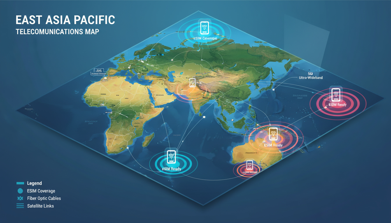
In short, what you'll discover in this article: a clear and detailed overview of the East Asia Pacific map, including its geography, political boundaries, major cities, and natural features. This guide will help you visualize the region better for travel or personal interest, with insights into economic zones and time zones.
1. Understanding the East Asia Pacific Map
The east asia pacific map is a vital tool for anyone looking to grasp the geography of this vast and diverse region. It encompasses East Asia and the Pacific islands, stretching from China and Mongolia in the west to island nations scattered across the Pacific Ocean.
This map highlights countries such as Japan, South Korea, Vietnam, and extends to Oceania, including Australia and New Zealand.
A well-designed map of East Asia and the Pacific shows:
- Political boundaries separating countries
- Major cities like Beijing, Tokyo, Manila, and Sydney
- Physical features such as mountain ranges, seas, and the Pacific Ocean itself
This visual representation helps travelers and geography enthusiasts piece together how these countries connect through land and sea.
2. The Geography of East Asia Pacific Region
The geography of East Asia Pacific region is marked by remarkable diversity. It includes:
- Mountainous terrains like the Himalayas bordering parts of China
- Vast coastlines along the Pacific Ocean
- Numerous islands in Oceania with tropical climates
- Large river systems such as the Yangtze and Mekong
Understanding these physical features is essential for appreciating how geography influences climate zones and population distribution across the area.
3. Countries in the East Asia Pacific Area
The East Asia Pacific area covers a broad range of countries with distinct cultures and economies. Key nations include:
- China
- Japan
- South Korea
- North Korea
- Mongolia
- Vietnam
- Thailand
- Philippines
- Indonesia
- Papua New Guinea
- Australia
- New Zealand
Each country contributes uniquely to the region’s economic zone, cultural landscape, and telecommunications infrastructure.
4. The East Asia Pacific Economic Zone Map
The economic zone map of East Asia Pacific reveals a dynamic region rich in trade and industry hubs. This zone includes:
- Major ports like Shanghai and Singapore facilitating global commerce
- Special economic zones promoting foreign investment
- Diverse industries ranging from technology in South Korea to agriculture in Southeast Asia
For travelers relying on connectivity, understanding this economic landscape helps anticipate where advanced telecommunications services like eSIM coverage are most available.
5. Political Boundaries in East Asia Pacific
Political boundaries on an East Asia Pacific map define sovereign territories but can sometimes be complex due to historical disputes or overlapping claims—especially around island groups in the South China Sea.
Key points about political boundaries include:
- Clear demarcations between mainland countries such as China and Mongolia
- Island nations with defined maritime boundaries
- Areas with contested claims requiring careful interpretation on maps
Knowing these boundaries assists travelers in planning routes and understanding regional geopolitics.
6. Time Zones Across East Asia Pacific
The East Asia Pacific time zones map shows multiple time zones spanning from UTC+8 (China Standard Time) to UTC+13 (some Pacific islands). This variety affects communication schedules, travel plans, and business operations.
Highlights include:
- China’s single time zone despite its vast size
- Japan Standard Time (UTC+9)
- Multiple time zones across Indonesia’s islands
- Daylight saving time observed in parts of Australia and New Zealand
Travelers using eSIMs or mobile data should consider these time differences when activating plans or contacting local services.
7. Climate Zones of East Asia Pacific
The climate zones of East Asia Pacific range widely due to geographic diversity:
- Tropical climates dominate much of Southeast Asia and Oceania’s islands.
- Temperate climates prevail in northern Japan and parts of China.
- Arid regions exist in Mongolia’s interior.
- Monsoon seasons heavily influence rainfall patterns across many countries.
This climatic variety impacts travel timing and connectivity needs throughout the year.
8. Population Distribution in East Asia Pacific
Population distribution is uneven across this region:
- Dense urban centers like Tokyo, Seoul, Shanghai, and Manila host millions.
- Remote islands have sparse populations.
- Coastal areas generally have higher population densities than inland regions.
Understanding population clusters helps predict where telecommunications infrastructure is strongest for reliable eSIM connectivity.
9. Major Cities in East Asia Pacific
Major cities serve as economic, cultural, and transportation hubs:
- Beijing (China)
- Tokyo (Japan)
- Seoul (South Korea)
- Manila (Philippines)
- Sydney (Australia)
These cities typically offer excellent mobile coverage options including eSIM plans suitable for tourists or business travelers.
10. Natural Resources in East Asia Pacific
The region is rich in natural resources that fuel its economies:
- Coal, oil, and natural gas reserves in parts of China and Indonesia
- Fisheries abundant across Pacific islands
- Timber from vast forests in Southeast Asia
These resources shape regional development patterns visible on detailed maps.
11. Practical Tips for Using an East Asia Pacific Map
When using an east asia pacific map for travel or study:
- Choose a map that clearly marks political boundaries and major cities.
- Look for physical features like mountain ranges or seas to understand geography.
- Check time zones if planning communication or travel schedules.
- Use maps that highlight economic zones if business or connectivity is your focus.
- Consider climate zones for seasonal travel planning.
For travelers heading to Singapore within this region, exploring the best eSIM Singapore plans can ensure seamless connectivity without roaming fees.
12. Conclusion
A detailed east asia pacific map offers invaluable insight into this diverse region’s geography, political layout, climate, and population centers—perfect for travelers or curious learners alike. For those visiting Singapore or nearby countries, leveraging local eSIM options can enhance your trip experience significantly.
To stay connected effortlessly during your travels across this vibrant region, consider checking out Singapore eSIM tourist plans or general eSIM Singapore data plans for reliable service backed by verified promo codes from providers featured on MyBestSim.
By combining geographic knowledge with smart connectivity choices, your journey through East Asia Pacific will be both informed and well-connected.
For more about Singapore’s best eSIM deals verified by MyBestSim—including exclusive promo codes—visit our dedicated guides linked above to find your perfect plan before you go!
FAQ
What countries are included in the East Asia Pacific map?
The East Asia Pacific map includes countries like China, Japan, South Korea, Vietnam, Indonesia, Australia, and New Zealand, among others. It covers both mainland East Asia and the Pacific island nations, providing a comprehensive view of the region.
How do time zones vary across the East Asia Pacific region?
Time zones in the East Asia Pacific region range from UTC+8 to UTC+13. China uses a single time zone despite its size, while countries like Indonesia span multiple zones. Australia and New Zealand observe daylight saving time, affecting local time differences.
What major physical features are shown on the East Asia Pacific map?
The map highlights key physical features such as the Himalayas, vast coastlines along the Pacific Ocean, large rivers like the Yangtze and Mekong, and numerous tropical islands in Oceania. These features influence climate and population distribution.
Why are political boundaries complex in the East Asia Pacific region?
Political boundaries can be complex due to historical disputes and overlapping claims, especially around island groups in the South China Sea. Some maritime boundaries are contested, requiring careful interpretation when using maps for travel or study.
How does the East Asia Pacific economic zone impact connectivity?
The economic zone includes major ports and special economic areas that boost trade and industry. This dynamic environment supports advanced telecommunications infrastructure, making eSIM coverage and mobile connectivity more accessible in key cities and hubs.

Liam Chen
Liam is a travel and technology writer based in Southeast Asia who has tested eSIMs across the region. At Singapore eSIM he compares travel data plans on Singtel, StarHub and M1 and helps visitors stay online affordably from Changi to Sentosa.